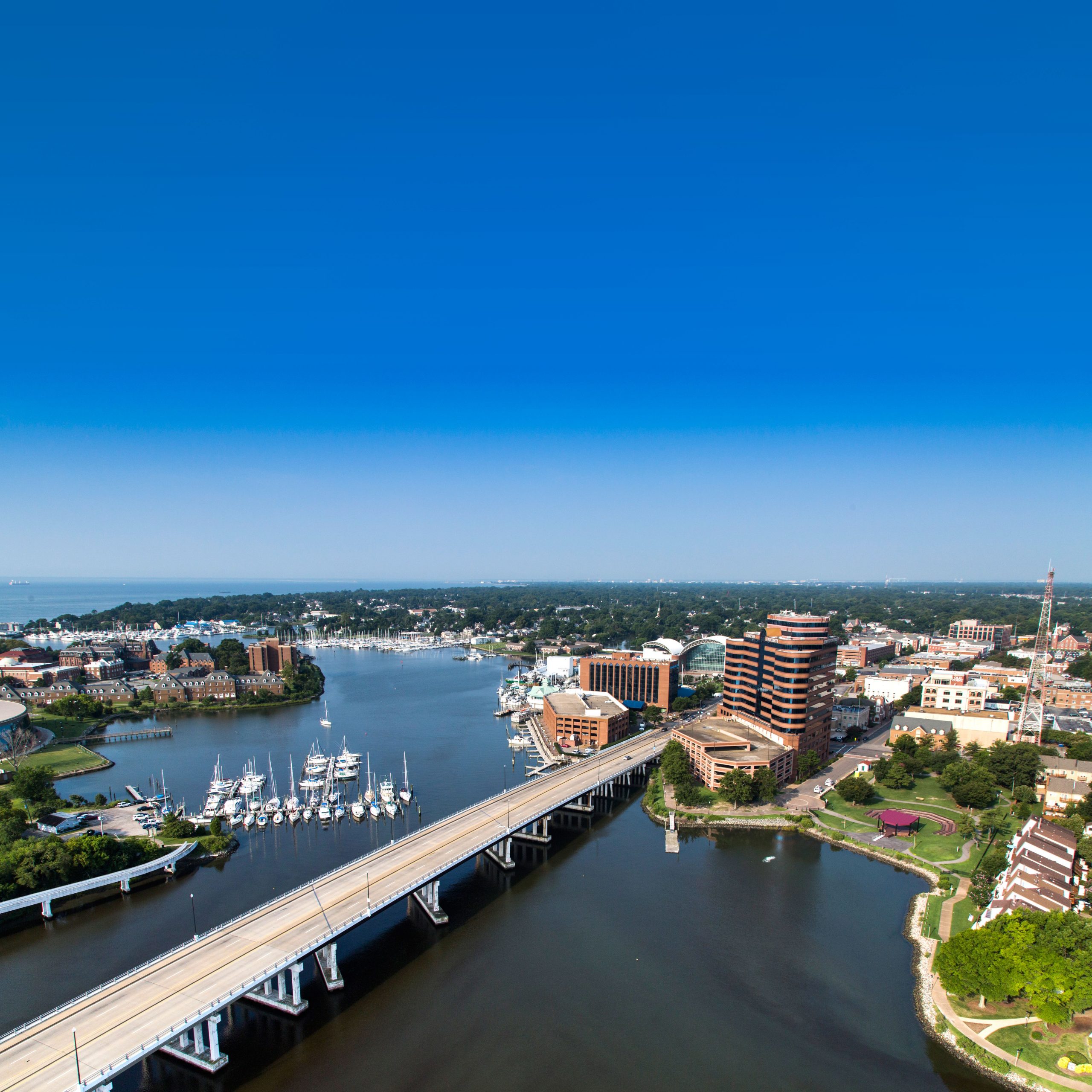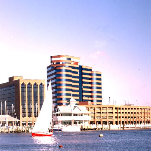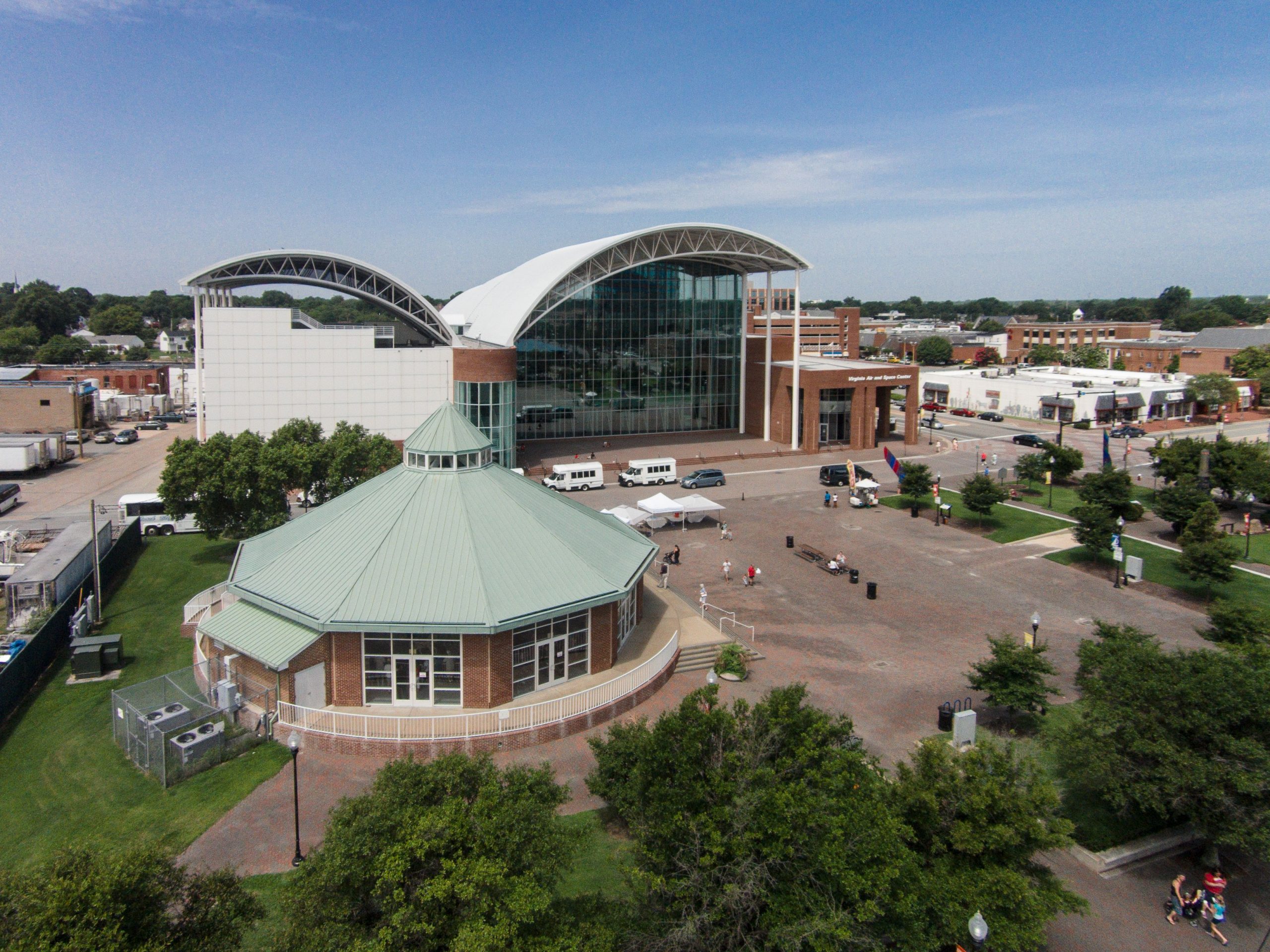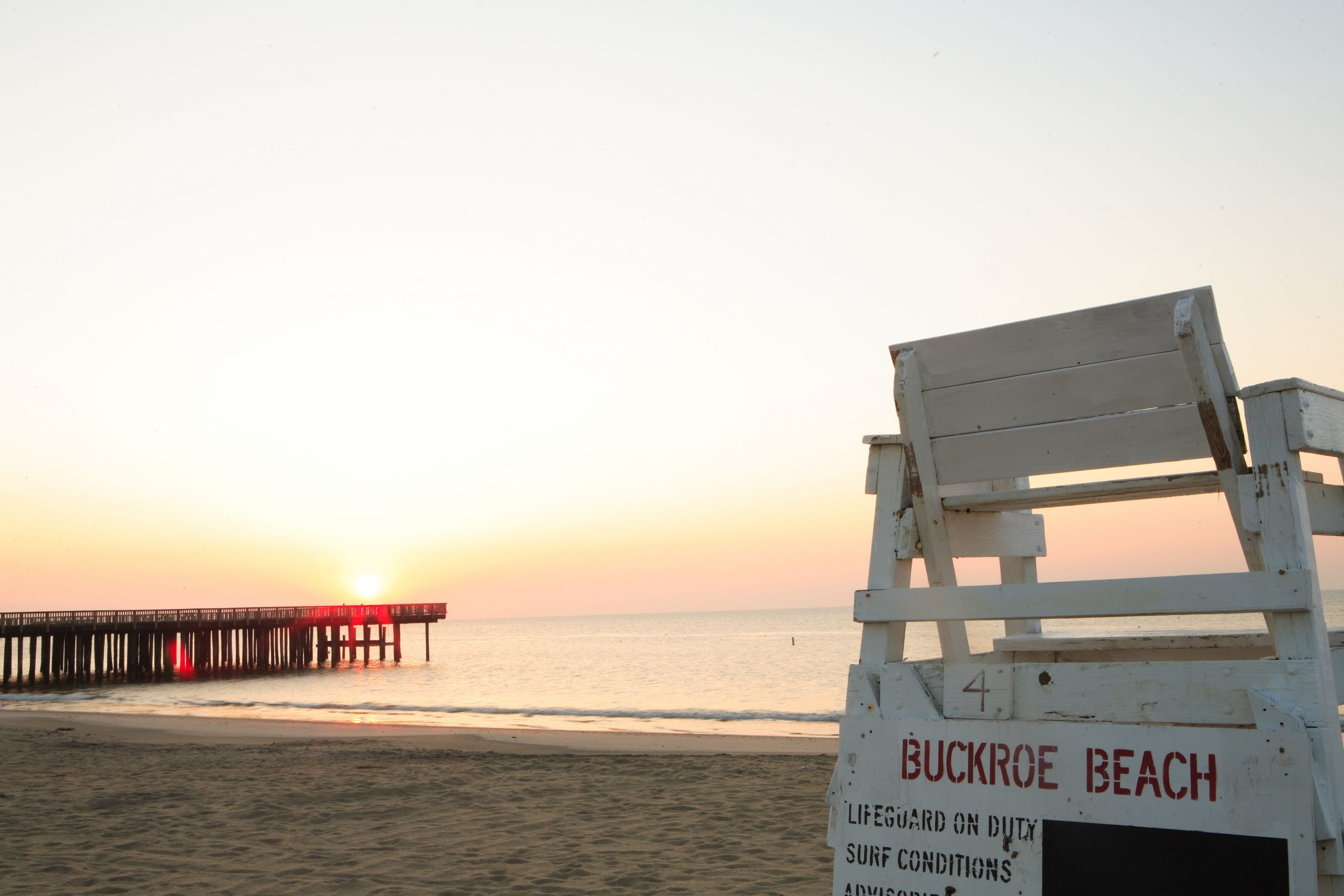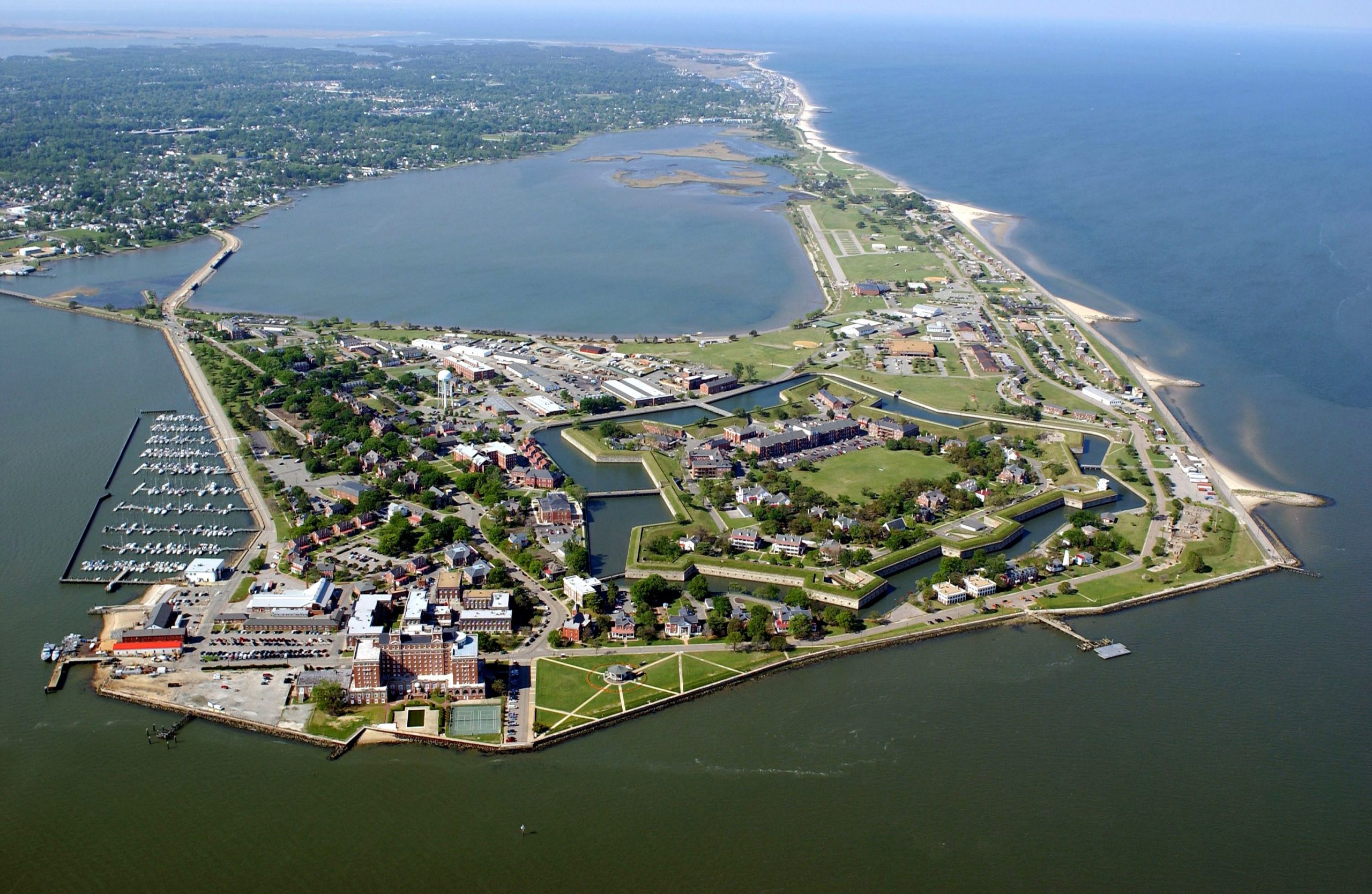
Hampton Roads is situated in the middle of the Eastern seaboard where the James, Nansemond, and Elizabeth rivers pour into the mouth of the Chesapeake Bay and meet the Atlantic Ocean to the region's east. It is recognized as the 33rd largest Metropolitan Statistical Area (MSA) in the United States, eighth largest metro area in the Southeast United States and the second largest between Atlanta and Washington, DC. Six of the 10 largest population centers in the United States are located within 750 miles of Hampton Roads.
Administrative Divisions
Home to more than 1.8 million people, the Hampton Roads region includes the independent cities of Chesapeake, Franklin, Hampton, Newport News, Norfolk, Poquoson, Portsmouth, Suffolk, Virginia Beach, and Williamsburg and the counties of Gloucester, Isle of Wight, James City, Mathews, Southampton, Surry*, and York.
*As a result of the 2010 Census, Surry County was removed from the Hampton Roads metropolitan statistical area (officially the Virginia Beach-Norfolk-Newport News VA-NC MSA) which also includes Currituck County and Gates County, North Carolina (not shown).
Etymology
The name "Hampton Roads" is a centuries-old reference that originated when the region was struggling as a British outpost 400 years ago. The word "Hampton" honors one of the founders of the Virginia Company, Henry Wriothesley - 3rd Earl of Southampton KG. Signifying the safety of a port, "Roads", short for roadstead, in nautical terminology means "a place less sheltered than a harbor where ships may ride at anchor."
Hampton Roads is the birthplace of Colonial America. It is home to Jamestown, the first permanent English settlement and to Colonial Williamsburg. Its rich history, thriving maritime industry and beautiful waterfront landscapes merge with livable communities, modern technology, economic prosperity and a strong military presence to create a unique and welcoming place in which to live and conduct business.
In 1983, "Hampton Roads" became the official name for the region as recognized by the United States, unifying the Southside with the Peninsula, although the first recorded mention of "Hampton Roads" in the Virginia General Assembly was in 1755 (21 years before the founding of the United States) as the channel linking the James, Elizabeth, and Nansemond Rivers with the Chesapeake Bay.
Envision 2020 Regional Rebranding Initiative
On December 10, 2019, the 2019 Annual Meeting of the Hampton Roads Chamber concluded with a brief presentation and video which unveiled the region’s new brand, "The 757." Backed by a nine-month research effort which included surveying more than 3,000 people the Envision 2020 Regional Branding Initiative found that "The 757" resonates most strongly across all of Hampton Roads' communities.
Envision 2020 Regional Branding Initiative was guided by a task force of 30 community leaders and a stakeholder group of more than 100 community advocates who have shepherded the project from its inception. The initiative began as a mission to understand the current perceptions about the region's brand identity. Through the Envision 2020 task force research has shown that even residents and business leaders have had trouble in defining who and what Hampton Roads is.
The task force raised project funding and hired SIR, a strategic management consulting firm, to manage the project. John Martin, CEO of SIR, led the rebranding initiative and research process.
"While a name is part of our story, what’s bigger is who we are and where we need to go in terms of our market," said Martin. He asked the audience how the region can market itself to people both within the region and outside of it. Martin discussed the vitality of branding and drawing young professionals to live and work in the region. "We don’t have a branding problem, we have a marketing problem," he said.
"The 757" is more than just an area code -- it’s a point of pride and empowerment, especially for the region’s younger generation, and it could become a robust regional signifier for everyone to use and embrace. The Envision 2020 Regional Branding Committee released a separate report detailing the rebrand. To learn more, visit www.Envisioning2020.com.
Flag of Hampton Roads
The Hampton Roads regional flag was created in 1998 in a highly public process sponsored by the Hampton Roads Chamber and the Hampton Roads Partnership. From more than 1,000 designs submitted by high school students in a regional contest, three finalists were chosen and were voted on by the general public through the media.
The gateway to Southeastern Virginia, Hampton Roads includes among its sixteen municipalities, symbolized by the flag’s stars, cities such as Norfolk, Williamsburg, Newport News, Hampton, Portsmouth, Chesapeake, Suffolk, and Virginia Beach. Southampton's Roadstead, the original name of Hampton Roads was given in the early 1600's by the Royal Governor in honor of Henry Wriothesley, 3rd Earl of Southampton KG. The nautical term roadstead, meaning a safe anchorage, calls to mind the area’s great history as a naval base, port, and center of shipbuilding.
Hampton Roads famous museums and performing groups make Hampton Roads the arts capital of Virginia, along with its research facilities in aerospace, particle physics, and oceanography, together with tourism, higher education, health care, and high tech manufacturing, characterize the area’s modern economy.
The Hampton Roads flag is the first flag ever created for a metropolitan region of the United States.
Symbolism of the flag:
-
The blue panel predominantly suggests maritime and naval character of the Hampton Roads region, which is the nation’s primary naval base on the Eastern Seaboard, the East Coast’s second largest seaport, and the country’s primary center of shipbuilding and ship repair.
-
The green panel stands for the region’s land-based agriculture, industry, and arts.
-
The white wavy line represents the sand and surf that help make the region one of the nation’s most visited tourist destinations--from Colonial Williamsburg, Jamestown, and Yorktown to Norfolk’s Chrysler Museum and the famous resort area at Virginia Beach.
-
The sixteen white stars symbolize the region’s cities and counties. The circle shape the stars are displayed in signifies the classic symbol of unity, and they all point to the center to represent the aspiration for regional cooperation.
The flag as a whole was created to symbolize the sense of community shared by the region’s 1.7 million residents and its motto, "Hampton Roads — Where Virginia Meets the Sea."
Order the Flag of Hampton Roads
The flag of Hampton Roads is a registered trademark of the Hampton Roads Chamber. Display the flag and show your regional pride. To purchase flag merchandise from the Chamber's exclusive vendor, US Flag & Signal, visit www.aflagshop.com, or call 757.497.8947 ext. 104. An exclusive Hampton Roads lapel pin can also be purchased from the link above.
Map Project
Participating Chamber members are featured in this Interactive Map. You can find them listed in the Business Locator section of Maplocator. This online companion to the flatmap includes: a category listing, pinpoint on the map and information about each member. If you would like a flap map please contact the Chamber at 757.622.2312 and one can be provided to you at no charge. Our Chamber office is located at 500 East Main Street, Suite 700 (7th floor of the BB&T building), Norfolk, VA 23510. For other requests go to the Chamber Shop to order your maps online.
Interactive "This is Hampton Roads" Annual Publication
Whether you are visiting the area or reside we encourage you to take advantage of all Hampton Roads has to offer. For starters, take a look at our This is Hampton Roads publication--featured in a new interactive "flip" format.